


Mt Kinabalu from the Park HQ Low's Peak
Mt Kinabalu at 4095.2 m is the highest peak between the Himalayas and the mountains in Irian Jaya(New Guinea). The 753.7 square km Kinabalu Park (a world heritage site) is the dominating feature which still offers a great deal to see and experience.


The trail to the summit winds along the southern side of the mountain.
It is an 8 1/2 km (5 1/2mile) trek to the top.The trek up to the summit takes 2 days. A 15 min 4 km drive from the Park HQ(1554m) will take us to the start of the summit trail at Timpohon Gate (1830m).


From Timpohon gate, we hike past the Carsons Waterfall followed by a steep 25 min climb to the first shelter, Pondok kandis at 1981m.
Continuing another 15 min, we will pass Pondok Ubah (2095m). Another 25 min will bring us to Pondok Lowi (2286m) on the ridge of the mossy cloud forest.


The trail soon splits leading to the Sabah Radio and Television Station on the left and continuation of the summit trail on the right.Here the trail winds tru dwarf forest. The trees are often enveloped in clouds. After 35 min of trekking, we reach Pondok Mempening (2518m)beforearriving at Layang Layang staff quarters (2621m) after another 30 min trek.This is an ideal place for a lunch stop with a good view to the east.


As we continue trekking, we will soon be climbing over an outcrop of ultra basic soil. In spite of their stunted appearance, the Leptospermum and Dacrydium trees may be hundreds years of years old here.The Nepenthes villosa ( Periuk Kera) is the highest growing pitcher plant that might be seen along the trail. We will pass the 5th and 6th shelter at 2842m and 3000m.


40 min further along the trail are the usual overnight stop huts (Laban Rata) at 3352m. At this altitude, there is not much vegetation and u will be standing on bare granite rocks.


Before dawn, trekkers will set out for the peak. A 45min walk will bring you to Sayat Sayat. This is the highest mountain hut at 3810m.


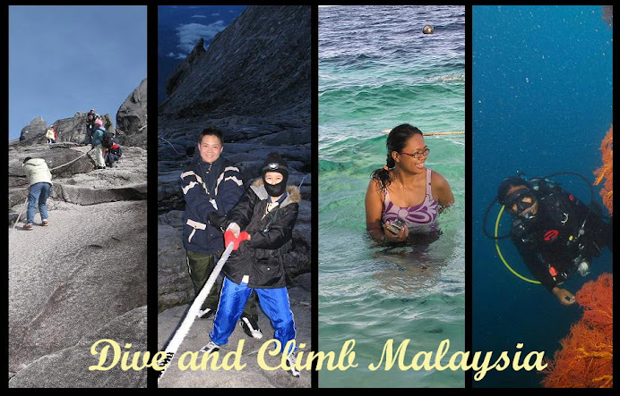
From Sayat Sayat it takes an hour to reach Low's Peak. Ropes are attached to the rocks in sheer areas to ease the steep climb. Pearched on Low's Peak, you can watch the sun rise over Borneo .
The shinning South China Sea commes into view in the West and a 1 1/2 km deep gully plunges into the northeast.


By mid morning, clouds and mist will envelope the summit and all views will be lost.
